Description
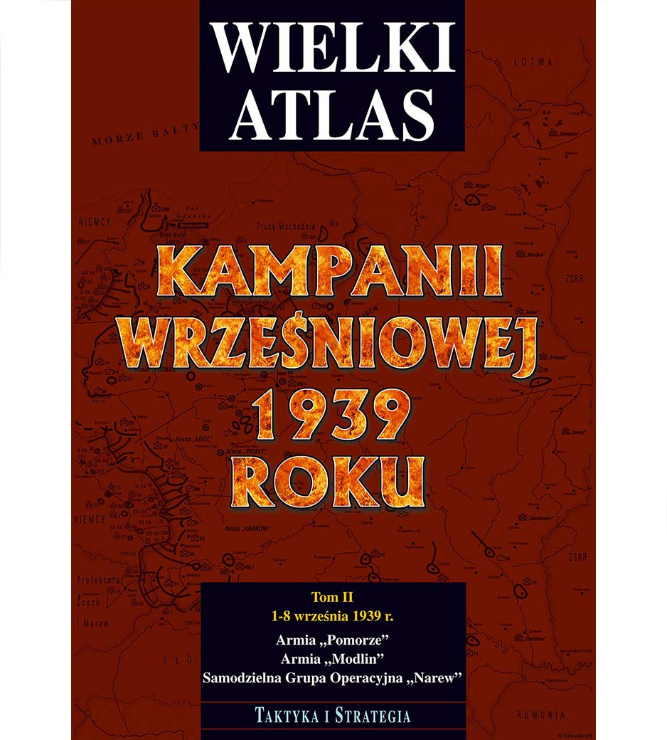
Volume II of the Great Atlas of the September 1939 Campaign covers the activities of the Polish Army in the northern regions of the Second Polish Republic between September 1 and 8.
The atlas is divided into three chapters:
– The “Pomeranian” Army, which fought from Kościerzyna, Tczew, Chojnice, on the Osa, near Koronowo and near Bydgoszcz, until the retreat on the Bzura river.
– The “Modlin” army, which was ordered to defend the shortest route connecting East Prussia with Warsaw, and later fought on the Narew and Bug rivers.
– Independent Operational Group “Narew” defending the right, extreme wing of our defense line, from Suwałki through Augustów, Osowiec, Wizna, Łomża, Nowogród to Ostrołęka.
Each day begins with an overview map showing combat operations at the division, brigade and regiment levels. The next maps show in detail battles on a battalion and company scale. Thanks to the maps at a scale of 1: 100,000, it was possible to show the hostilities with the greatest possible accuracy.
The study included maps of Polish permanent fortifications along with the directions of fire for individual combat bunkers.
Atlas size – A3 format (29.7 x 42 cm)


